Machine Control & Site Calibration Services
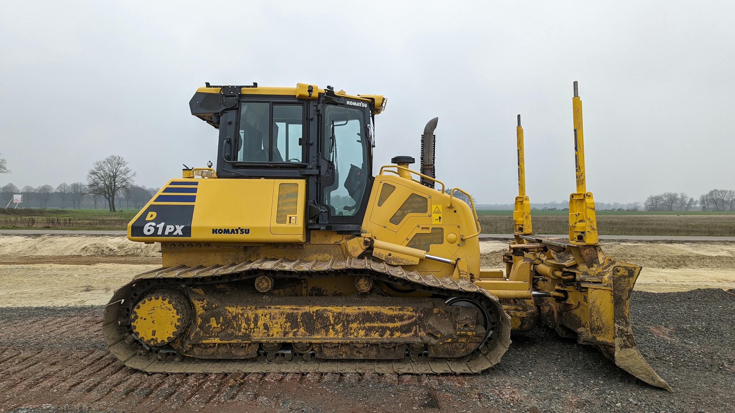
Machine Control Modelling

Design Interpretation & Conversion
We interpret civil and architectural plans and convert them into usable formats for machine control systems. (Trimble, Leica, Topcon)
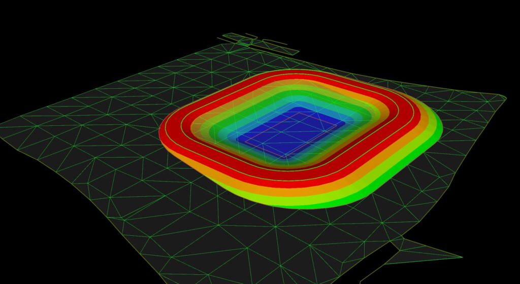
3D Terrain & Surface Modelling
Accurate 3D surface models built for real-world performance, ensuring grade correctness and constructability across all stages.
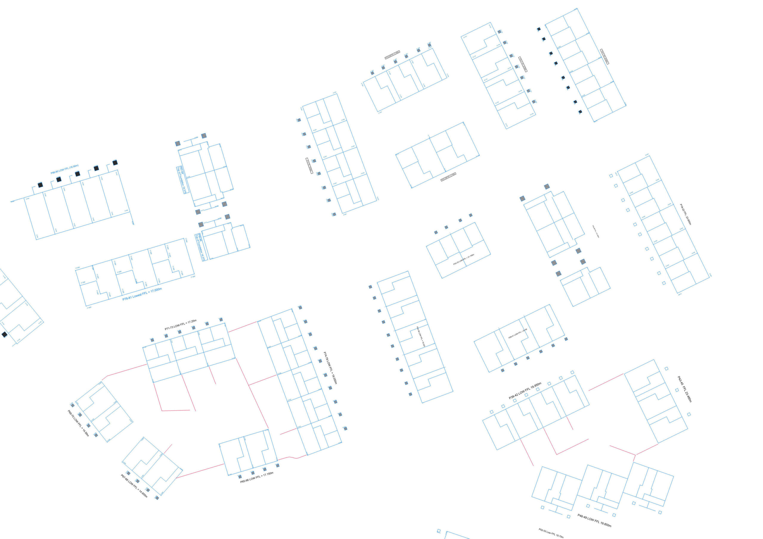
3D Linework Modelling
Precise Linework Models built for trench foundations or pipelines, helping to maximise machine productivity and site minimise waste.
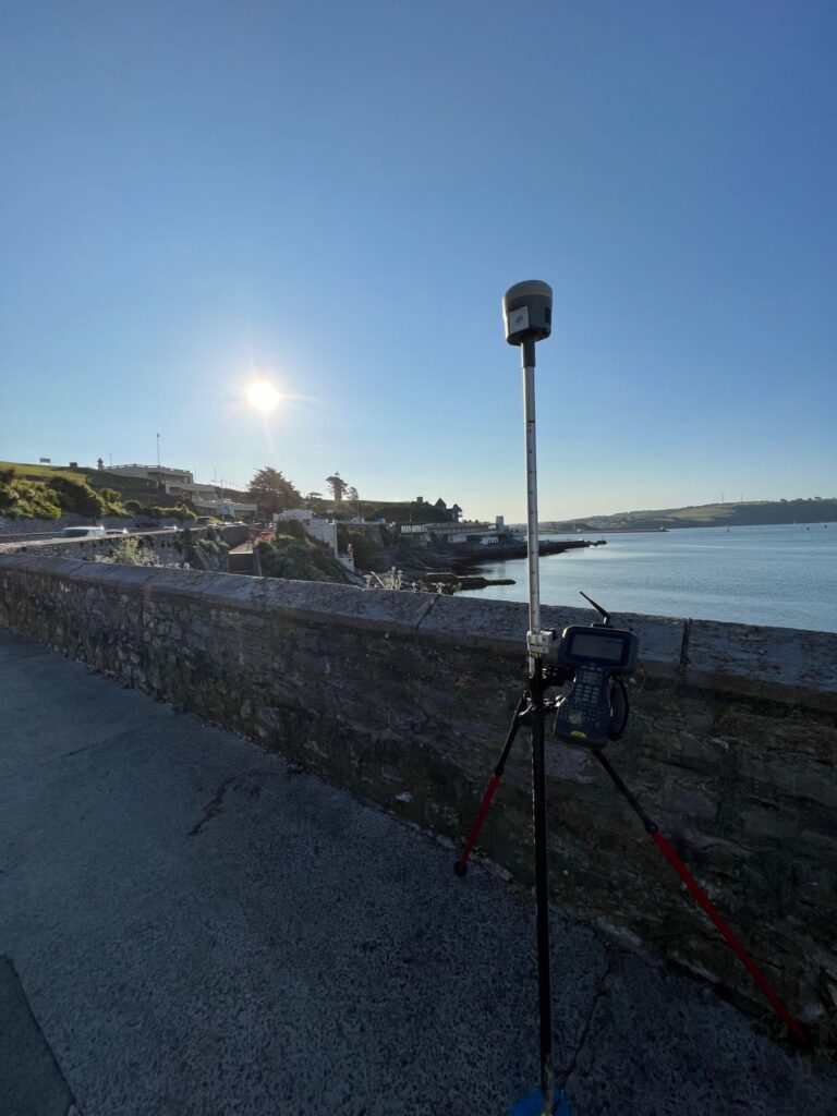
Site Calibration & Setup

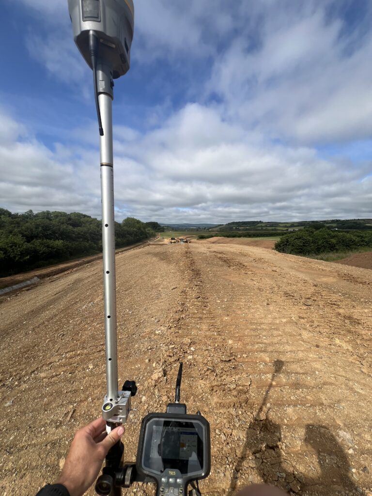
Coordinate System Verification
Often missed, this critical step is vital to ensuring machine control is correctly applying design coordinates to the real world.

Site Calibrations
Once the coordinate upon which the design is based has been verified, a full GNSS site calibration can be performed to ensure that digging is undertaken in the right place.
Datum Installation & Base Station Setup
GPS Machine control has many working parts, be sure that everything is working as it should by having control points that operators can check against.
Don’t wait until it’s too late.
Why not monitor the progress on GPS controlled earthworks projects by having progressive survey undertaken along the project? We can highlight differences between the as-built & design early in the programme.
Frequently Asked Questions
We hope this FAQ section has addressed some of your common questions. If you have any further queries, please don’t hesitate to reach out to us.